Splits per kilometer
- Km 1
- 14'20
- Km 2
- 17'48
- Km 3
- 19'32
- Km 4
- 15'44
- Km 5
- 11'12
 GPX View
Free · Android and iOS · Works offline
GPX View shows your GPX and TCX files on a map, guides you along the track and keeps working once the area is downloaded. Hiking, cycling and riding.


The trail in view, the remaining elevation gain, and a map that keeps responding in a dead zone.
A handlebar display readable at arm's length: speed, elevation gain, next turn.
Your roadbook loaded in advance, followed abroad without using any data.
01 — Import
You found a route on a hiking site or got sent a friend's track. It opens in GPX View without going through a computer.
View a GPX online, without installing anythingAll the site's GPX tools

02 — Offline
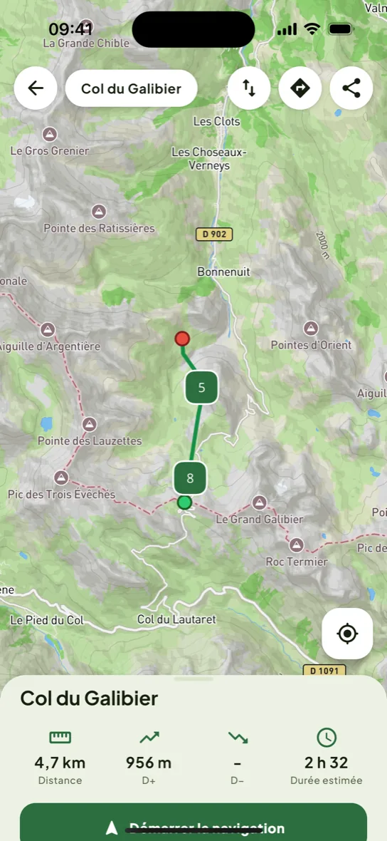
Before you leave, download the map around your track. On the trail, the app shows the base map, your position and the track with no connection at all — in a dead zone or abroad.
The phone's GPS doesn't depend on the network. Once the map is saved, a bivouac at the bottom of a valley or a pass with no signal changes nothing.
A multi-day road trip is prepared from the hotel's wifi. No mobile data used on the road.
Downloaded area: Chamonix — Les Contamines, 6 km radius around the track, 218 megabytes, available offline. Connection required only during the download.
03 — Guidance
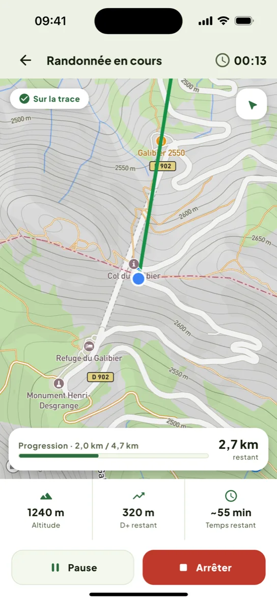
Two ways to read the same track, depending on how fast you're moving. The app's activity switch changes the display, not the track.
Speed dominates the screen, readable at arm's length on the handlebar and in bright sun. Remaining distance, elevation gain and the next turn below.
Speed
2424 km/h
Cycling guidance screen, as it appears while riding.
The share of the trail already covered, the profile of the climb ahead and the clock. You read the effort still to come, not just your position.
Les Houches → Les Contamines62%
Tour du Mont-Blanc, stage 1 · 13.2 km
1,561 m · 8.6 km
Slide across the profile to read the altitude
Scrubbable elevation profile — the marker follows your finger along the curve.
Beyond a distance you set, the phone vibrates and shows the gap. Useful when you're chatting and miss a turn.
04 — Terrain
On a multi-day trip, the questions are always the same: where to refill the bottle, where to sleep, and whether you'll still know once the signal is gone. GPX View picks out useful points along your track from OpenStreetMap's open data, then saves them with the track: they stay shown once there's no connection left.
Tap a category to remove it from the map, a marker to find out what it is — that's the whole gesture.
Sample track and real markers, sourced from OpenStreetMap. The app knows 9 categories; this track crosses 4.
05 — Journal
The app records the outing as you go, then files it in the journal with its stats, its per-kilometer splits and your notes.
“Climb up to Col du Tricot in the fog, slippery footbridge. Do it dry next time.”
Feeling: hard
184.6km
Elevation gain 6,320 m · 9 outings
06 — Sharing
The editor lays your stats over a photo of the outing, over the real map or over the track's silhouette. Two ratios, 9:16 for stories and 4:5 for the feed. Free.
You choose which stats are shown: distance, elevation gain, duration, average pace.
21.4 kmElevation gain 1,240 m · 6h 12m · 3.4 km/h9:16 — story
84.3 kmElevation gain 1,780 m · 3h 52m · 21.8 km/h4:5 — feed
07 — Premium
The app is free and usable as is: import, guidance, recording, export, sharing. The only thing that costs anything is the offline map — pay per map, no subscription, or included with Premium at 18 new maps a month. Premium is billed monthly, yearly, or as a one-time lifetime purchase.
Install the app first: Premium is activated from the offline maps screen, where your country's pricing is shown.
| What you do | Free | Premium |
|---|---|---|
| Import a GPX or TCX file | Included | Included |
| Guidance and off-track alerts | Included | Included |
| Recording and journal | Included | Included |
| Export an outing as GPX | Included | Included |
| Share an outing as an image | Included | Included |
| Offline maps | Pay per map | Included, 18 a month |
No. The app works without signing up. Your tracks and outings are saved on your phone.
On your phone. They're never sent anywhere unless you share them yourself.
Yes. An outing's detail screen has an “Export” button: the GPX file is rebuilt and goes wherever you want — email, cloud, another app. Your recordings aren't locked inside the app.
Only offline maps. Importing, guiding, recording, exporting and sharing are free, no account needed. An offline map can be bought on its own, no subscription, or Premium includes them at 18 new maps a month. Prices are shown in the app, based on your country.
Recording keeps going with the screen off: you can put the phone away in your bag and the track keeps being written. On the trail, what drains the most is a lit screen and searching for a signal that isn't there — a map downloaded ahead of time avoids the second one.
Tap the attachment and choose GPX View from the list of apps. The track is imported and filed in your library.
Yes, TCX files open just like GPX ones, with no conversion needed.
Yes. Download the map area before you leave: on the trail, the base map, your GPS position and the track then show up with no connection at all. Downloading is the only moment that needs a network.
You've seen it all. Install GPX View and open your first track.